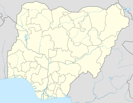
Zamfara State
A northwestern Nigerian state created in 1996 from Sokoto State.

CDC Global · CC BY 2.0
Zamfara is a state in northwestern Nigeria. The capital of Zamfara state is Gusau and its current governor is Dauda Lawal. The state is named after the Zamfara River which flows through the state. Until 1996, the area was part of Sokoto State. Zamfara is a densely populated area with the Hausa. The Zamfarawa, a section of the Hausa ethnic nationality, cluster mainly in Anka, Gummi, Bukkuyum and Talata Mafara Local Governments areas. The Gobirawa, another Hausa sub-group, populate Shinkafi Local Government. The Burmawa sub-group are found in Bakura, while the Fulani are scattered all over the State, with significant concentrations in Bungudu, Maradun, and Gusau.
- Capital
- Gusau
- Population (2006 census)
- 3,278,873
- Area
- 38,418 square kilometres
- Official Languages
- English, Hausa, Arabic
- Current Governor
- Dauda Lawal
- Date of Creation
- 1996
- Major Religion
- Islam
Verified Timeline
Lore & Background
The people of Zamfara have over the years struggled for autonomy, but it was not until 1996 that the then military administration of the late General Sani Abacha detached the Zamfara State from Sokoto State with an area of 38,418 square kilometres. The first Governor was Jibril Yakubu. The area today called Zamfara state was one of the old Hausa Kingdoms like Kano, Katsina, Gobir, Kabi and Zazzau. The earliest inhabitants of Zamfara were said to have been hunters and giants. They established their first settlement at Dutsi, which was the first capital of Zamfara. Zamfara Kingdom was established in the 11th century and flourished up to 16th century as a city-state. Its capital has shifted with the fortunes of the kingdom from place to place like Dutsi and Birnin Zamfara. In the first half of the 18th century, its then capital Birnin Zamfara, was destroyed by the Gobir Kingdom and a new capital was established in Anka by the second half of the 19th century. It became part of the Sokoto Caliphate after the 1804 jihad by Usman dan Fodio. In fact, Usman Danfodiyo settled in Sabon Gari where Sarkin Zamfara Abarshi had already established a garrison headquarters during the early days of his Jihad as a base from where he fought Gobir and Kabi.
Reader's Guide
Zamfara State consists of fourteen Local Government Areas. The climate condition of Zamfara is tropical with temperatures rising up to 38 °C and above between March and May. Rainy season starts in late May to September while the mild season known as Harmattan lasts from December to April. The hottest months in Zamfara are March and April. Agriculture and gold mining are the state's main occupations and the central source of income. Over 80 percent of the population is engaged in agriculture. Major products include millet, guinea corn, maize, rice, groundnut, cotton, tobacco and beans. The state is one of the poorest in Nigeria and has one of the highest incidences of extreme poverty (over 60% of the population) according to World Bank data from 2018. Zamfara was the first state in Nigeria to introduce Sharia law during the tenure of Ahmad Sani Yerima, the former Governor of the state. In 2009, gold mining became a greater source of income in Zamfara State as worldwide gold prices rose drastically. High concentrations of Lead in the ore from which gold was being extracted led to a Lead poisoning outbreak in the state. Zamfara is known to experience several recent attacks from bandits. On 26 February 2021, 279 girls were abducted from their boarding school located in Jangebe, Zamfara during the Zamfara kidnapping. On 11–12 June 2021, motorcycle-riding bandits killed over 53 villagers, mostly farmers. On 4–6 January 2022, over 200 people were killed by bandits in Zamfara State.
Did You Know?
- Zamfara State is named after the Zamfara River which flows through the state.
- The earliest inhabitants of Zamfara were said to have been hunters and giants.
- Zamfara was the first state in Nigeria to introduce Sharia law, during the tenure of former Governor Ahmad Sani Yerima.
- In 2009, high concentrations of lead in gold ore led to a lead poisoning outbreak in the state.
- On 26 February 2021, 279 girls were abducted from their boarding school in Jangebe, Zamfara.
Kingdom Heritage & the Long Road to Statehood
The Zamfara Kingdom traces its origins to the eleventh century, flourishing as a city-state until the sixteenth. Its earliest inhabitants were described as hunters and giants who established their first settlement at Dutsi, the realm's original capital. Over the centuries the capital shifted with the fortunes of the kingdom, moving to Birnin Zamfara and eventually to Anka after Birnin Zamfara was destroyed by the Gobir Kingdom in the first half of the eighteenth century. The kingdom was a notable centre of commerce and scholarship, drawing scholars to cities such as Yandoto. In 1804, following Usman dan Fodio's jihad, Zamfara was absorbed into the Sokoto Caliphate, and Usman Danfodiyo settled in Sabon Gari, where Sarkin Zamfara Abarshi had already raised a garrison headquarters. Under British colonialism, Gusau rose as a vital commercial and administrative hub threaded by road and rail networks. The region remained folded into Sokoto State until 1996, when the military administration of General Sani Abacha carved out Zamfara as a separate state of 38,418 square kilometres, with Jibril Yakubu serving as its first governor.
A Mosaic of Hausa Sub-Groups
Zamfara is a densely populated region where the Hausa ethnic nationality forms the overwhelming majority, yet the state is far from ethnically uniform. The Zamfarawa, a distinct section of the Hausa, cluster primarily in the local government areas of Anka, Gummi, Bukkuyum, and Talata Mafara. The Gobirawa, another Hausa sub-group whose ancestors migrated from the ancient Gobir Kingdom, are concentrated in Shinkafi. In Bakura, the Burmawa sub-group maintains its presence, while Fulani communities are scattered throughout the state with significant concentrations in Bungudu, Maradun, and Gusau. The Chafe, Bungudu, and Maru areas are home mainly to Katsinawa, Garewatawa, and Hadejawa sub-groups, and the Alibawa are found in Kaura Namoda and Zurmi. The Alawan Shehu Usmanu Fulani communities are located in Birninmagaji. This intricate patchwork of sub-groups, each carrying its own migration story and territorial identity, gives Zamfara a rich internal cultural diversity that extends well beyond the simple label of Hausa.
Agriculture, Mineral Wealth & the Poverty Paradox
Agriculture is the lifeblood of Zamfara, with over eighty percent of the population engaged in farming. The state's slogan, 'farming is our pride,' reflects the centrality of crop production to daily life and the broader economy. Major products include millet, guinea corn, maize, rice, groundnut, cotton, tobacco, and beans, many of which require irrigation for cereals and legumes. Gold mining serves as the other principal occupation and income source. Yet this agricultural and mineral wealth coexists with one of Nigeria's most severe poverty challenges: World Bank data from 2018 indicates that over sixty percent of Zamfara's population lives in extreme poverty, placing the state among the country's poorest. Beneath the surface lie substantial deposits of iron ore, gold, chromate, granite, clay, limestone, chamovita, quartz, and kaolin, suggesting vast untapped potential. The stark contrast between such resource abundance and widespread deprivation remains one of the defining tensions of Zamfara's economic landscape.
Climate, Borders & the Built Landscape
Zamfara's tropical climate shapes daily life across the state. Temperatures climb to thirty-eight degrees Celsius and above between March and May, with those two months being the hottest just before the first rains arrive. The rainy season runs from late May through September, bringing a welcome cooling effect, while the mild Harmattan season stretches from December to April. The state shares a thirty-two-kilometre northern border with the Republic of Niger and a combined one-hundred-seventeen-kilometre southern border with Kaduna State and Niger, while Katsina State lies to the east and Sokoto and Kebbi states to the west. Gusau, the capital, serves as an important commercial centre drawing a heterogeneous population from across Nigeria. The A126 highway links Gusau to both Katsina and Sokoto, while additional roads connect Kaura Namoda to Shinkafi, Gusau to Kebbi via Dansadau, and Anka toward Gummi and Gayawa. The Zamfara River, which gives the state its name, flows through the region, and seasonal dust and particulate matter pose significant respiratory health risks to residents.
Gallery
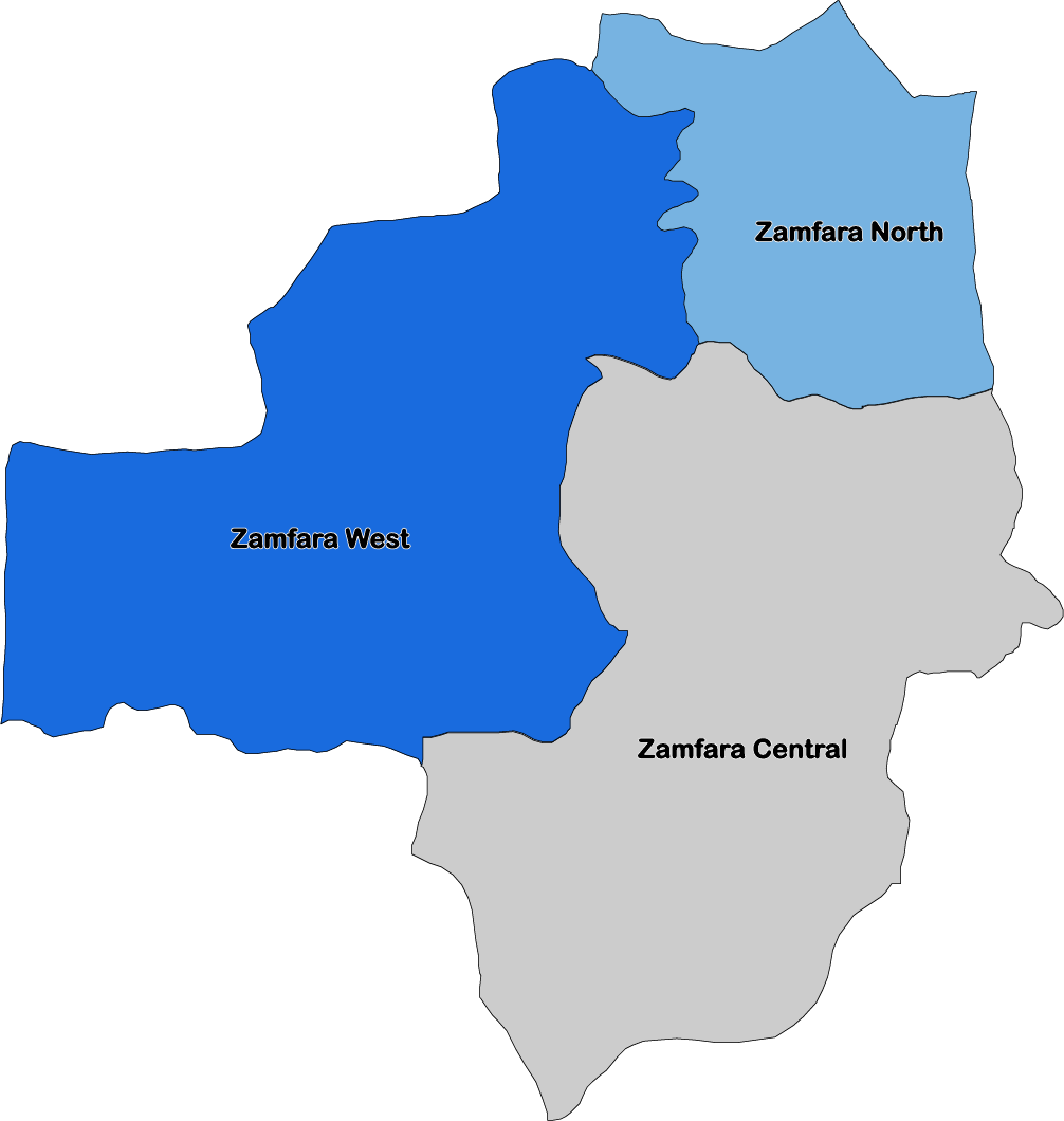
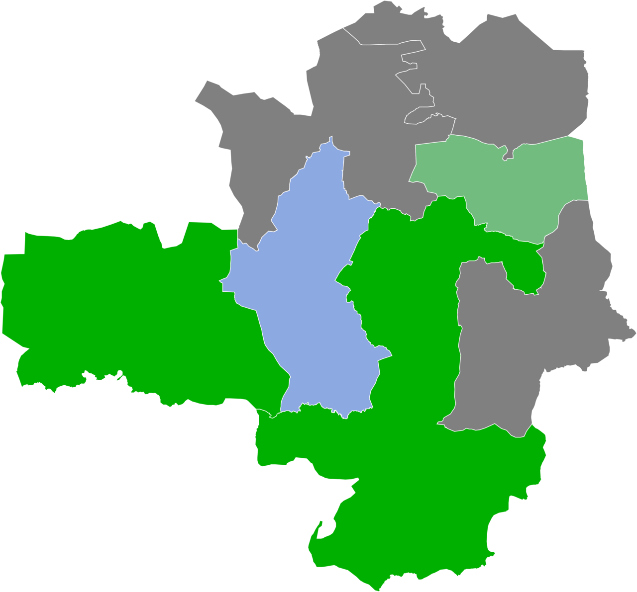
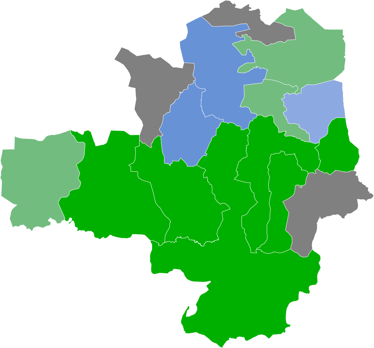
Frequently Asked Questions
What is Zamfara State?
Zamfara State is a northwestern Nigerian state that takes its name from the Zamfara River. Its administrative capital is the city of Gusau, and it covers roughly 38,418 square kilometres of land.
How was Zamfara State created?
The state was carved out of the larger Sokoto State in 1996, when General Sani Abacha's military government reorganised Nigeria's administrative boundaries. It has operated as an independent state ever since that split.
Who is Zamfara State's current governor?
Dauda Lawal holds the office of governor in Zamfara State as of the latest available information.
Who lives in Zamfara State?
The state is densely populated, with the 2006 census recording just over 3.2 million residents. The population is overwhelmingly Hausa, including sub-groups such as the Zamfarawa, Gobirawa, and Burmawa, while Fulani communities are distributed throughout the region.
What languages are official in Zamfara State?
English, Hausa, and Arabic are recognised as the state's official languages, reflecting its colonial heritage, dominant ethnic identity, and historical Islamic scholarly traditions.
More in Nigerian States 25-26
Elsewhere in the Nigerian States universe
Spotted an error? Know more?
This is a living reference — every entry is fact-audited, and reader corrections feed straight into our audit queue. Suggest an edit · See this site's audit record