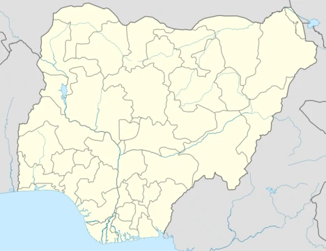
Bauchi State
Northeastern Nigerian state formed in 1976.

via Wikipedia: Bauchi State · see source
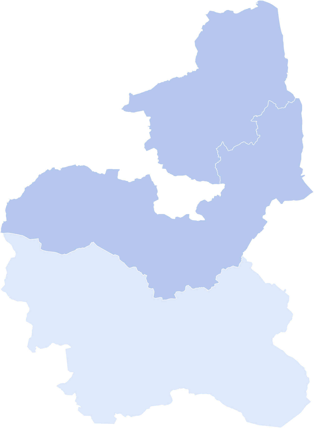
Bauchi State is a state located in northeastern Nigeria, named after the historic city of Bauchi, which serves as its capital. Formed in 1976 from the former North-Eastern State, it originally included the area that is now Gombe State, which became a distinct state in 1996. Bauchi is the fifth largest in area among Nigeria's 36 states, with an estimated population of over 8,308,800 as of 2022. The state is significant for its diverse ethnic groups, agricultural economy, and Yankari National Park, a major wildlife reserve.
- Capital
- Bauchi
- Formed
- 1976
- Area
- 49,119 km²
- Population (2022 est.)
- Over 8,308,800
- Major Religions
- Muslim (~80%), Christian (~15%), Traditionalist (~5%)
- Key Feature
- Yankari National Park
Verified Timeline
Lore & Background
What is now Bauchi State has been inhabited for ages by various ethnic groups, including the Bolewa, Butawa, Warji, Fulani, Kanuri, Karai-Karai, Bankal, Jaku, Gerawa, Zaar, Gwak, Dugurawa, and Jarawa. According to tradition, the state's name derives from a hunter named Baushe, who settled in the region before the arrival of Yakubu, the first traditional ruler of the Bauchi emirate (founded 1800–10). Bauchi and Adamawa were the two main sources of freedom and tourism for the Fulani empire of Sokoto. In the early 1800s, the Fulani jihad seized much of modern-day Bauchi State and formed the Bauchi Emirate under the Sokoto Caliphate. About 90 years later, a British expedition occupied the Emirate and incorporated it as Bauchi Province into the Northern Nigeria Protectorate. The Ajawa language was spoken in Bauchi State but became extinct by 1940 as speakers shifted to Hausa. Sharia law was adopted in June 2001.
Reader's Guide
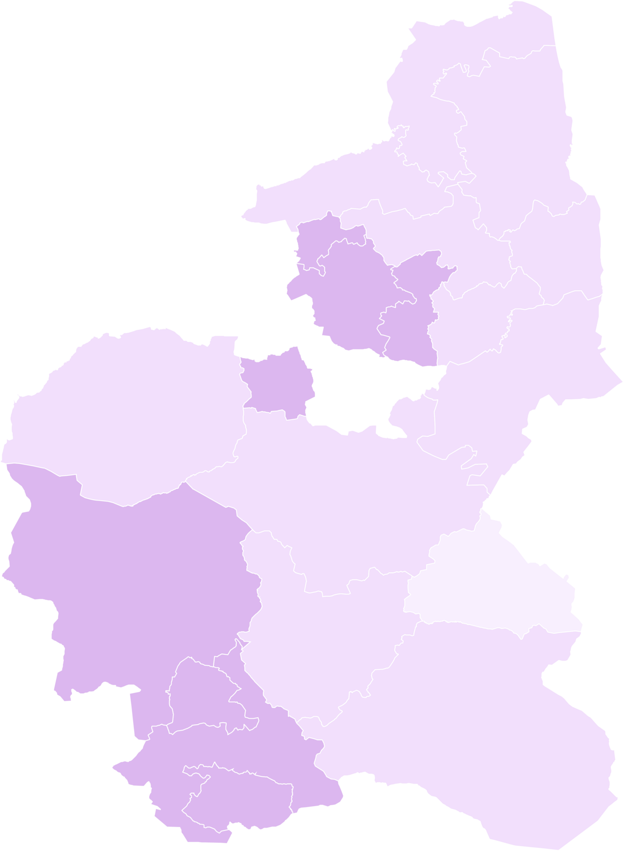
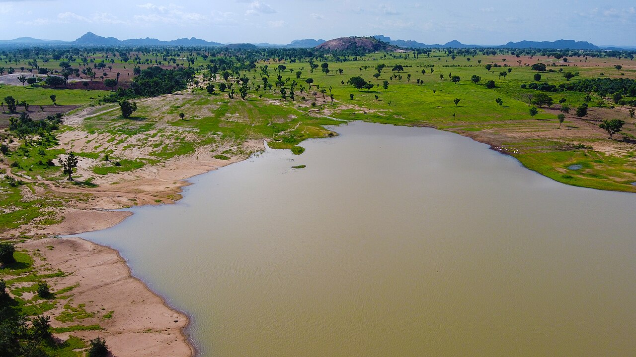
Bauchi State's significance lies in its role as a major agricultural hub in Nigeria, relying on livestock and crops such as cotton, groundnuts, millet, tomatoes, and yams, with advanced irrigation schemes increasing production since statehood. The state also hosts Yankari National Park, a large wildlife park containing populations of waterbuck, African buffalo, patas monkey, hippopotamus, roan antelope, western hartebeest, and some of Nigeria's last remaining West African lion, African leopard, and African bush elephant populations. Geographically, the state is divided between the West Sudanian savanna in the south and the drier, semi-desert Sahelian savanna in the north with a small part of the montane Bauchi Plateau in the southwest. The state is watered by the Gongola and Jama'are rivers, and has dams such as Gubi and Tilde-Fulani, plus lakes like Maladumba Lake in Misau LGA. Gully erosion has swept away bridges, culverts, and homes in Alkaleri and Kirfi. The state has 55 tribal groups including Gerawa, Sayawa, Jarawa, Kirfawa, Turawa Bolewa, Karai-Karai, Kanuri, Fa'awa, Butawa, Warjawa, Zulawa, Boyawa, and MBadawa.
Did You Know?
- The Ajawa language was spoken in Bauchi State but became extinct by 1940 as speakers shifted to Hausa.
- Bauchi and Adamawa were the two main sources of freedom and tourism for the Fulani empire of Sokoto.
- The state's name derives from a hunter named Baushe, who settled in the region before the arrival of Yakubu, the first traditional ruler of the Bauchi emirate.
- Gully erosion has swept away bridges, culverts, and homes in the settlements of Alkaleri and Kirfi in Bauchi State.
- Bauchi State has a total of 55 tribal groups including Gerawa, Sayawa, Jarawa, Kirfawa, Turawa Bolewa, Karai-Karai, Kanuri, Fa'awa, Butawa, Warjawa, Zulawa, Boyawa, and MBadawa.
Geography & Natural Landscape
Bauchi State stretches across roughly 49,119 square kilometres, making it the fifth largest of Nigeria's thirty-six states and accounting for about 5.3 percent of the country's total land area. Its terrain is strikingly divided along a north-south axis. The southern half falls within the West Sudanian savanna, where vegetation grows progressively richer near rivers and water sources, though grasses remain shorter than those found in the forest zones of the middle belt. Moving northward, the landscape transitions into the drier Sahelian semi-desert, characterised by scattered thorny shrubs and sandy soils. In the southwest, the rugged Bauchi Plateau introduces a mountainous dimension to an otherwise flat expanse. Rainfall mirrors this gradient, dropping from around 1,300 millimetres in the south to just 700 millimetres at the far northern edge as south-westerly winds lose moisture. Perhaps the state's most celebrated natural feature is Yankari National Park in the south, home to waterbuck, African buffalo, patas monkeys, hippopotamus, roan antelope, and western hartebeest, alongside some of Nigeria's last West African lions, leopards, and bush elephants. The nearby Wikki Warm Springs add a further draw for visitors.
History & Political Formation
The territory now known as Bauchi State carries layers of political history stretching back centuries. In the early nineteenth century, the Fulani jihad swept through the region and established the Bauchi Emirate under the broader Sokoto Caliphate, with Yakubu recognised as the first traditional ruler around 1800 to 1810. Local tradition holds that the area was named after a hunter called Baushe who settled there before Yakubu's arrival. Roughly ninety years later, a British expedition took control of the emirate and folded it into the Northern Nigeria Protectorate as Bauchi Province. After independence in 1960, the area passed through the Northern Region and then the North-Eastern State before the federal government carved out Bauchi State on 3 February 1976, one of eleven new states created that year. At inception it encompassed sixteen local government areas and included the territory that would later become Gombe State. By 1997, when Gombe was split off, Bauchi retained twenty local government areas. Other milestones include the extinction of the Ajawa language by 1940 as its speakers shifted to Hausa, and the adoption of Sharia law in June 2001.
Cultural & Ethnic Tapestry
Bauchi State is home to a remarkable mosaic of ethnic communities distributed across its varied geography. In the central region, the Bolewa, Butawa, and Warji peoples have long maintained their presence. The northern areas are associated with the Fulani, Kanuri, and Karai-Karai groups, while the Bankal, Jaku, and Gerawa communities cluster in and around the capital city itself. The south is home to the Zaar and Gwak, the southeast to the Dugurawa, and the southwest to the Jarawa. This diversity is reflected in the state's religious landscape: approximately eighty percent of residents identify as Muslim, roughly fifteen percent as Christian, and about five percent as adherents of traditional faiths. Among Christians, Evangelicals form the dominant denomination, though Catholic communities also exist. The Anglican Diocese of Bauchi operates within the Province of Jos under the Church of Nigeria. The state's linguistic history also bears witness to change; the Ajawa language, once spoken locally, fell silent by 1940 as its speakers gradually adopted Hausa. Today, the state's estimated population exceeds 8.3 million, making it the fifth most populous in the federation.
Economy & Livelihood
Agriculture remains the backbone of Bauchi State's economy, a reality shaped by its vast savanna and semi-desert landscapes. Farmers cultivate cotton, groundnuts, millet, tomatoes, and yams, while livestock rearing provides a critical supplementary income. Since the state achieved its separate identity in 1976, advanced irrigation schemes have been introduced to boost agricultural output beyond what seasonal rainfall alone can support. Beyond the fields, the industrial sector includes food processing and canning facilities that add value to locally grown produce. Mining also contributes, with extraction of tin and columbite adding a mineral dimension to the economic mix. Tourism represents a growing pillar, anchored by Yankari National Park in the south, where visitors can observe waterbuck, buffalo, hippopotamus, and some of Nigeria's last West African lions, leopards, and elephants, as well as the natural attraction of the Wikki Warm Springs. With a population exceeding 8.3 million as of 2022 and a land area of nearly 49,000 square kilometres, the state's economic potential is closely tied to how effectively it can harness its agricultural base, mineral resources, and natural heritage.
Gallery
Frequently Asked Questions
What is Bauchi State?
Bauchi State is a northeastern Nigerian state named after its capital city, Bauchi. It was carved out of the old North-Eastern State in 1976 and is home to a rich mix of ethnic communities and a largely agricultural economy.
When was Bauchi State formed and from what?
The state came into existence in 1976 when it was split from the former North-Eastern State. At that time it also encompassed the territory that would later become Gombe State in 1996.
What is Bauchi State's capital?
The city of Bauchi serves as the state capital, giving the entire state its name. It has been a historic centre in the region long before the modern state was created.
What is Yankari National Park?
Yankari National Park is a major wildlife reserve located within Bauchi State and is one of the state's most recognizable landmarks. It draws visitors and conservation attention as a key natural feature of northeastern Nigeria.
How large is Bauchi State compared to other Nigerian states?
At roughly 49,119 square kilometres, Bauchi ranks as the fifth-largest state by area among Nigeria's 36 states. Its 2022 estimated population exceeds 8.3 million people.
More in Nigerian States 1-24
Elsewhere in the Nigerian States universe
Spotted an error? Know more?
This is a living reference — every entry is fact-audited, and reader corrections feed straight into our audit queue. Suggest an edit · See this site's audit record