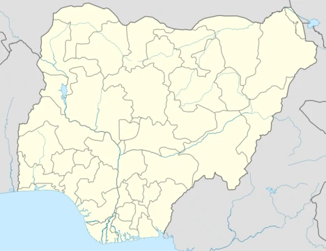
Benue State
A Nigerian state named after the Benue River, created in 1976.

via Wikipedia: Benue State · see source
Benue State is a state in the North Central region of Nigeria, popularly referred to as part of the Middle Belt. It was created in 1976 and was among the seven states created at that time. The state derives its name from the Benue River, originally called Ber-nor in the Tiv language, a compound word meaning 'river or lake of hippopotamus' (Ber meaning river or lake, while nor is the name for hippopotamus). The name Ber-nor was corrupted to BENUE by colonial masters. The state is inhabited predominantly by the Tiv, Idoma and Igede people, with its capital at Makurdi. It is known as the 'Heartbeat of the Middle Belt' and the 'Entertainment Capital of the Middle Belt' north of the Niger River.
- Created
- 1976
- Capital
- Makurdi
- Population (2006 census)
- 4,253,641
- Area
- 34,059 km²
- Major ethnic groups
- Tiv, Idoma, Igede
- Main economic activity
- Agriculture
Verified Timeline
Lore & Background
Benue State is a legacy of an administrative entity carved out of the protectorate of northern Nigeria at the beginning of the twentieth century. The territory was initially known as Munshi Province until 1918 when the name of its dominant geographical feature, the Benue River, was adopted. The state was formed from the former Benue-Plateau State in 1976, along with Igala and some parts of Kwara State. In 1991, some areas of Benue state (mostly the Igala-speaking area), along with areas in Kwara State, were clubbed together to form the new Kogi State. Agriculture is the mainstay of the economy, engaging over 75% of the state's workforce, and the state accounts for over 70% of Nigeria's soybean production. Urbanization did not predate the colonial era; the few towns established during colonial rule remained very small (less than 30,000 people) up to the creation of Benue State in 1976. The three main urban centers—Makurdi, Gboko, and Otukpo—together account for more than 70 per cent of the social amenities provided in the state and almost all the industrial establishments. In recent period, Benue State has been a flashpoint for insecurity in Nigeria; it has witnessed frequent clashes between indigenous farmers and Fulani herders and other jihadist attacks which has led to incessant killings, difficulty in farming and has displaced lots of people. In June 2025, over 100 people were murdered in Yelwata village.
Reader's Guide
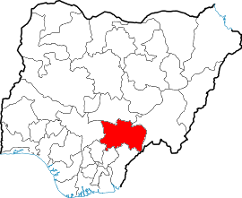
Benue State lies within the lower river Benue trough in the middle belt region of Nigeria, occupying a landmass of 34,059 square kilometres. It shares boundaries with five other states: Nasarawa State to the north for 231 km (partly across the Benue River), Taraba State to the east for 235 km, Cross-River State to the south for 96 km, Enugu State to the south-west for 84 km, and Kogi State to the west for 153 km. The state also shares a common boundary for 22 km with the Nord-Ouest Province, claimed by both Ambazonia and the Republic of Cameroon on the south-east. The state has a Tropical wet and dry or savanna climate, with a yearly temperature of 29.38 °C. The rainy season lasts from April to October with annual rainfall in the range of 100–200 mm. The state is blessed with abundant mineral resources, though only limestone at Tse-Kucha, Gboko and Kaolinite at Otukpo are being commercially exploited. Other mineral deposits include baryte, gypsum, feldspar, wolframite, kaolinite, mineral salts and gemstone. The vegetation of the southern parts of the state is characterised by forests, which yield trees for timber and provide a suitable habitat for rare animals types and species. The state thus possesses potential for the development of viable forest and wildlife reserves.
Did You Know?
- The name Benue comes from the Tiv word 'Ber-nor', meaning 'river or lake of hippopotamus', which was corrupted to BENUE by colonial masters.
- The state was initially known as Munshi Province until 1918.
- Benue State accounts for over 70% of Nigeria's soybean production.
- In June 2025, over 100 people were murdered in Yelwata village.
- The state shares a 22 km international border with the Nord-Ouest Province, claimed by both Ambazonia and the Republic of Cameroon.
Naming & Genesis
The name "Benue" carries a story that stretches back to the Tiv language, where the river was originally called Ber-nor — a compound in which "Ber" denotes a river or lake and "nor" is the Tiv word for hippopotamus. Colonial administrators later distorted this indigenous name into the form we recognize today. The waterway itself is the second largest in Nigeria, trailing only the River Niger. The territory's administrative history began in the early twentieth century under the northern protectorate, when it was first designated Munshi Province. By 1918, the river's name had been adopted for the province. In 1976, under General Murtala Mohammed's military government, Benue State was carved from the former Benue-Plateau State alongside Igala territories and portions of Kwara, becoming one of seven new states that expanded Nigeria from thirteen to nineteen. A decade later, in 1991, the Igala-speaking areas were separated to form Kogi State, reshaping Benue's borders into the twenty-three local government areas it holds today.
Ethnic Mosaic & Demographics
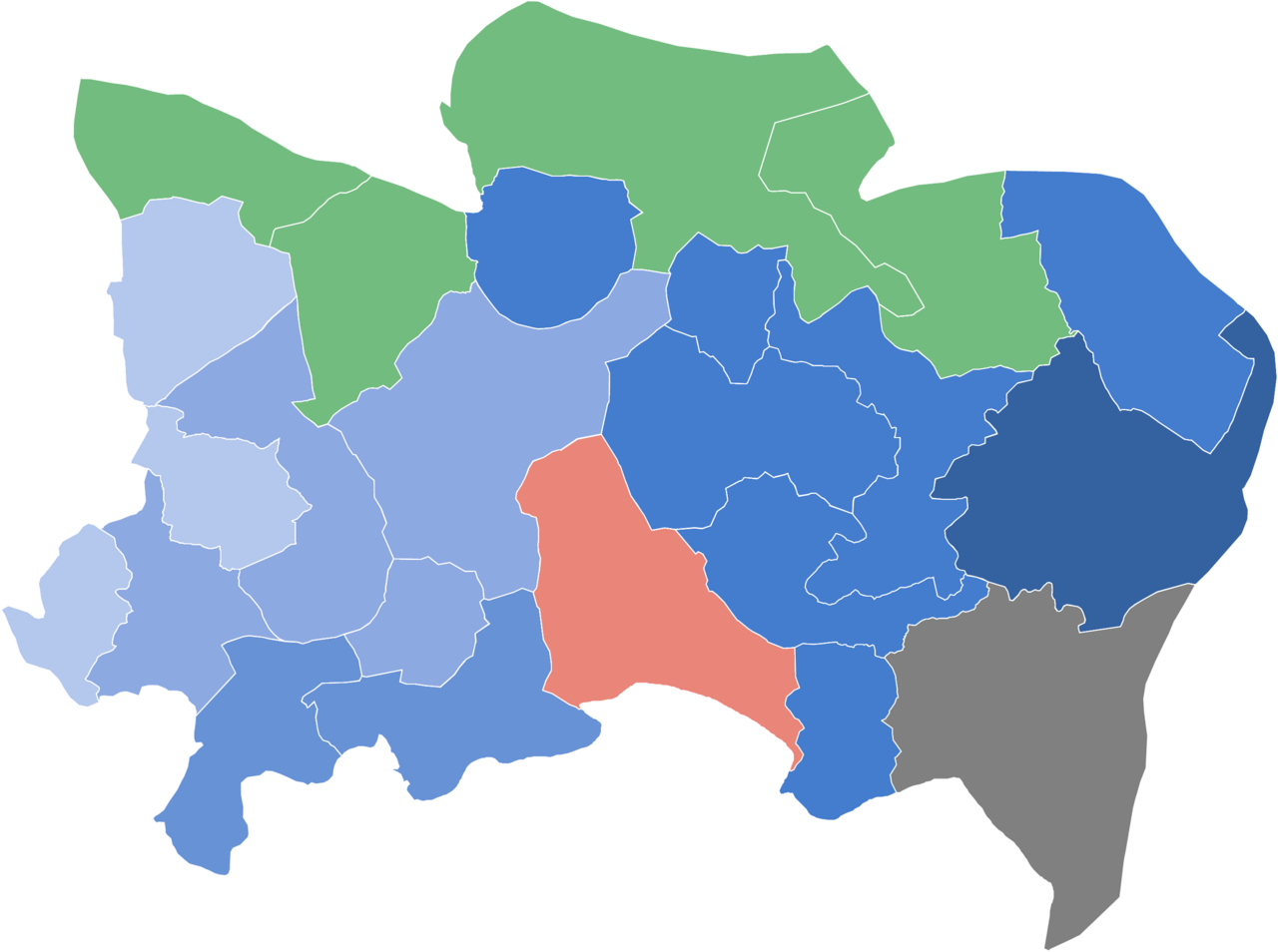
Benue's population, recorded at approximately 4.25 million in the 2006 census, places it ninth among Nigeria's states. The demographic landscape is dominated by three major ethnic groups — the Tiv, the Idoma, and the Igede — while smaller communities such as the Etulo, Hausa, and Jukun add further layers of cultural diversity. Igbo-speaking populations are present in boundary areas including Obi, Oju, and Ado. The gender balance is strikingly even, with females constituting a slight majority at 50.2 percent. Perhaps the most remarkable feature of Benue's demographics is the sharp duality in population density. Remote areas like Guma, Ohimini, Tarka, Apa, Logo, and Agatu register fewer than seventy people per square kilometer, whereas densely settled LGAs such as Vandeikya, Ukum, Kwande, Otukpo, Okpokwu, and Gboko range between 160 and 200 per square kilometer. Makurdi stands apart with over 380 persons per square kilometer, reflecting its role as the administrative capital and the state's most concentrated urban hub.
Agricultural Heartland & Rural Fabric
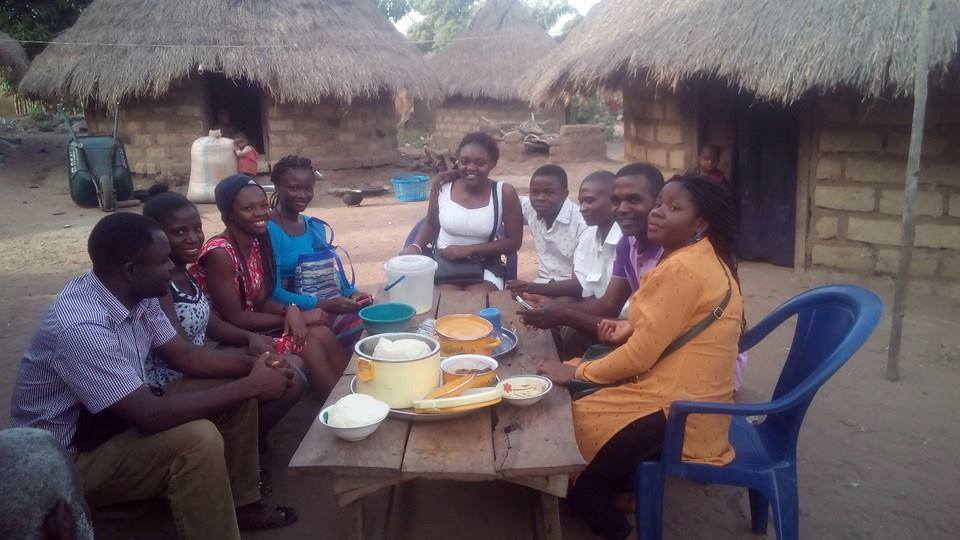
Benue is widely regarded as one of Nigeria's most agriculturally productive regions, cultivating a broad spectrum of crops that includes oranges, yams, mangoes, sweet potatoes, cassava, soya beans, guinea corn, flax, sesame, rice, groundnuts, and palm trees. Yet this agricultural richness coexists with a deeply rural settlement pattern. The region was significantly depleted of its human population during the transatlantic slave trade, and today most communities remain scattered in tiny compounds or homesteads of roughly 630 people, the majority engaged in farming. Urbanization did not take root before the colonial era, and even the towns established under colonial rule stayed below thirty thousand residents until the state's 1976 creation. The urban hierarchy is clearly stratified: Makurdi, Gboko, and Otukpo form the top tier, together providing over seventy percent of the state's social amenities and nearly all its industrial establishments. A second tier of local government headquarters — Katsina-Ala, Zaki-Biam, Vandeikya, and Adikpo — sits between twenty and fifty thousand inhabitants, while a third tier of smaller market towns and newly created LGA headquarters completes the picture.
Security & the Modern Struggle
In recent years, Benue has become one of Nigeria's most volatile flashpoints for insecurity. The state has endured frequent and devastating clashes between indigenous farming communities and Fulani herders, compounded by jihadist attacks that have triggered waves of killings, disrupted agricultural livelihoods, and displaced large numbers of residents. The violence has struck at the very heart of Benue's identity as a farming region, making it increasingly dangerous for the communities that depend on the land for survival. The crisis reached a particularly grim milestone in June 2025, when more than one hundred people were killed in the village of Yelwata, underscoring the scale of the humanitarian toll. These recurring episodes of violence have eroded the stability of rural life, strained the already limited social infrastructure concentrated in Makurdi, Gboko, and Otukpo, and cast a long shadow over the state's agricultural potential and the daily existence of its Tiv, Idoma, Igede, and minority communities.
Gallery
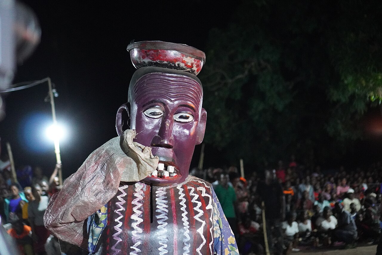
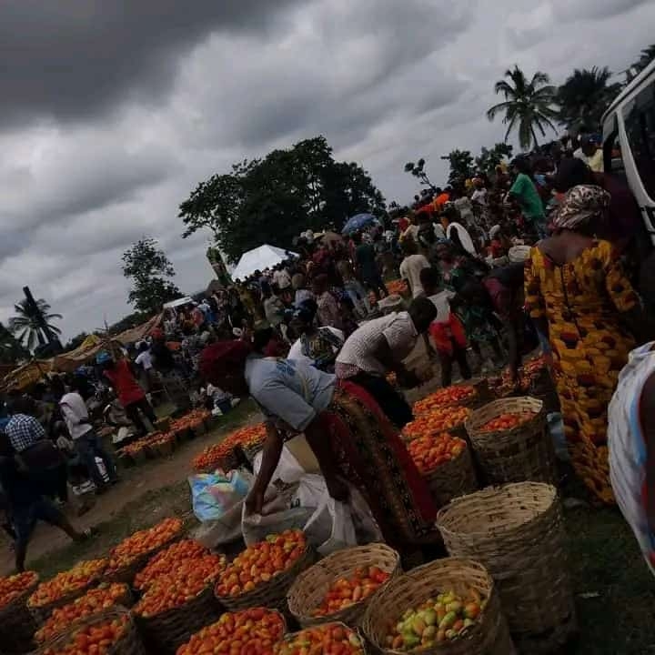
Frequently Asked Questions
What is Benue State and where is it located?
Benue State sits in Nigeria's North Central region and is commonly grouped with the Middle Belt. It was carved out in 1976 and takes its name from the Benue River, which the Tiv people originally called Ber-nor, meaning 'river or lake of hippopotamus.'
What is Benue State's capital and how big is it?
Makurdi serves as the state capital. The state covers roughly 34,059 square kilometres and was home to about 4.25 million people according to the 2006 census.
What are Benue State's popular nicknames?
Fans and locals often call it the 'Heartbeat of the Middle Belt' for its central cultural position. It also carries the title 'Entertainment Capital of the Middle Belt' for the area north of the Niger River.
Which ethnic groups are most prominent in Benue State?
The Tiv, Idoma, and Igede peoples form the core of the state's population. Their languages, traditions, and agricultural heritage define much of the region's cultural identity.
What drives Benue State's economy?
Agriculture is the backbone of the state's livelihood, leveraging its fertile Middle Belt soils. This farming focus has shaped both the daily life and the political priorities of Benue's communities since its creation in 1976.
More in Nigerian States 1-24
Related in Nigerian States
Links follow this subject's own source article.
Elsewhere in the Nigerian States universe
Spotted an error? Know more?
This is a living reference — every entry is fact-audited, and reader corrections feed straight into our audit queue. Suggest an edit · See this site's audit record